Decoding the Desert Necropolis: A Field Guide to Prehistoric Circular Mass Graves in the Sahara
Overview
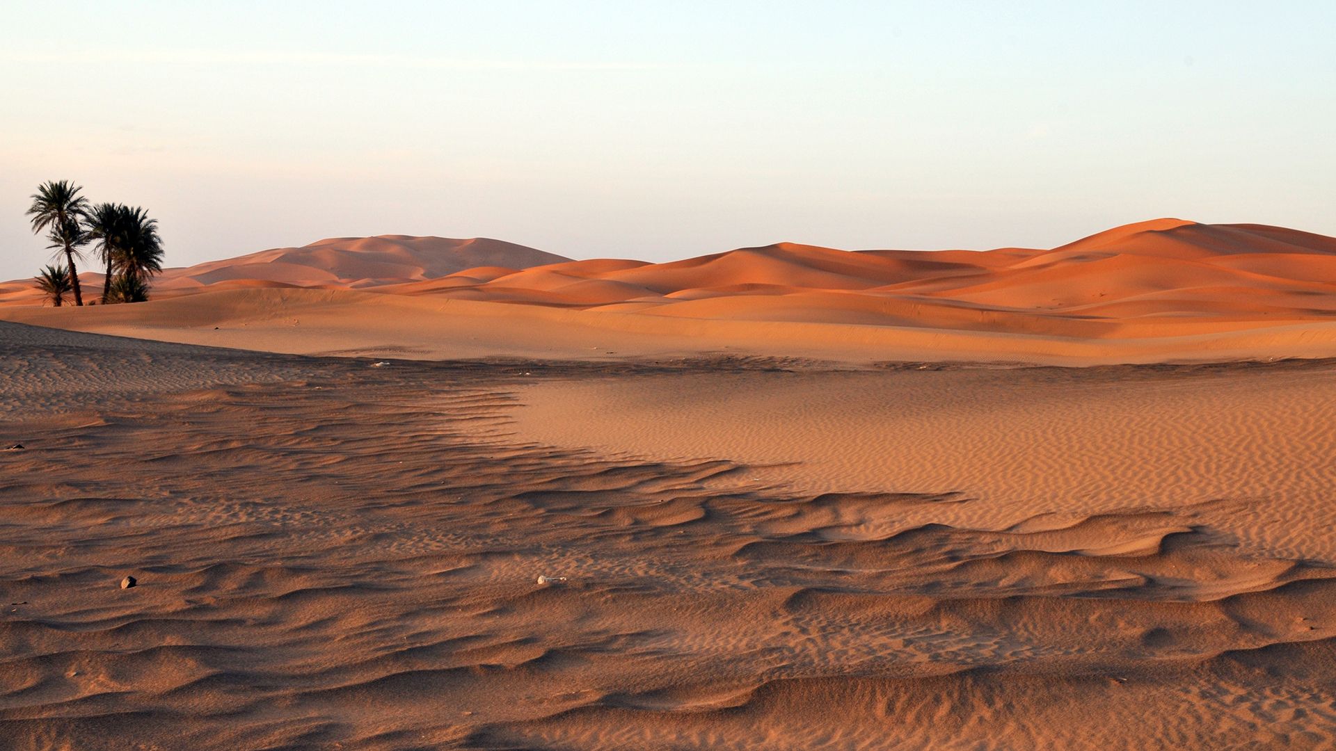
In a discovery that reshapes our understanding of North African prehistory, archaeologists have uncovered a sprawling cemetery of 260 circular mass graves deep in the Sahara, dating back millennia before the first pharaohs ruled the Nile. These monumental burial sites—some measuring over 10 meters in diameter—hold the remains of hundreds of individuals interred in a previously unknown funerary tradition. This guide provides a comprehensive walkthrough of how such sites are identified, excavated, and interpreted, blending satellite archaeology, field anthropology, and geochronology. Whether you’re a student of archaeology, a seasoned field researcher, or an enthusiast intrigued by ancient cultures, this tutorial will equip you with the knowledge to understand and contribute to the study of these remarkable structures.

Prerequisites
Knowledge Background
- Basic understanding of archaeological fieldwork techniques (survey, excavation, recording).
- Familiarity with radiocarbon dating and its limitations.
- Conceptual knowledge of human osteology and taphonomy (post-mortem changes).
- Interest in Saharan prehistory and the Neolithic/Late Stone Age period (c. 10,000–5,000 BCE).
Equipment & Software
- Satellite imagery access (e.g., Google Earth, Sentinel-2, or commercial high-resolution data).
- GPS device or smartphone with offline mapping app (e.g., Avenza Maps).
- Standard archaeological field kit: trowels, brushes, measuring tapes, Munsell color chart, total station or RTK GPS for accurate mapping.
- Sample collection supplies: sterile bags, plastic vials, aluminum foil for organic material, and a cooler for diagenetic studies.
- Basic GIS software (QGIS, ArcGIS) for spatial analysis.
- Optional: drone with photogrammetry capability (e.g., DJI Phantom 4 RTK) for 3D modeling of grave structures.
Step-by-Step Instructions
Step 1: Remote Sensing Identification of Circular Anomalies
Begin by scanning satellite imagery of the Sahara’s vast dune seas and rocky plateaus. Look for dark, ring-like features that contrast with surrounding lighter sands or gravels. These may be partial or complete circles, often raised as low mounds or depressed as ring ditches. Use a false-color infrared composite (e.g., bands 8, 4, 3 in Sentinel-2) to enhance subtle differences in vegetation or soil moisture that delineate ancient structures. Mark all candidate circles in a GIS layer. The presence of a central tumulus or concentric stone rings often indicates a mass grave rather than a natural formation like a deflation basin.
Step 2: Ground Truthing and Surface Survey
Once candidate sites are flagged, organize a ground survey team. Approach each location on foot, recording GPS coordinates and photographing the feature from multiple angles. Look for surface artifacts: sherds of pottery, lithic tools, bone fragments exposed by wind erosion. In the case of the 260 graves recently reported, the circular form was the key indicator; inside the perimeter, archaeologists noted compacted strata suggestive of multiple burials. Test pits (50 cm x 50 cm) at the center and edge can reveal stratigraphy without full excavation. Record soil color, texture, and any visible bones or grave goods.
Step 3: Establishing the Funerary Context
Before digging, map the entire grave structure using a total station or drone-based photogrammetry. This step is critical because the arrangement of human remains and artifacts within the circle provides clues about ritual behavior. For example, if bodies are placed radially with heads toward the center, it suggests a communal tomb concept. Skeletal articulations should be noted in situ. In the Sahara graves, many individuals were found in flexed positions, often with their knees drawn up to the chest, a sign of secondary burial practices. Create a plan of the grave at 1:50 scale, showing every identifiable bone and grave good.
Step 4: Excavation and Recovery of Human Remains
Excavate the grave using the arbitrary level method (e.g., 10 cm spits) within each quadrant. Collect all skeletal elements, even small fragments, and bag them by context. For mass graves with overlapping individuals, use a Harris matrix to untangle the stratigraphic sequence. The 260-grave discovery required careful taphonomic analysis because bones were often commingled. Pay special attention to dentition and long bones for age and sex estimation. Whenever possible, leave a sample of rib or long bone shaft in context for radiocarbon dating—avoid touching with bare hands to prevent contamination.
Step 5: Radiocarbon Dating and Chronological Control
Select well-preserved bone collagen samples (if available) or associated charcoal. Use the AAA (acid-alkali-acid) pretreatment to remove contaminants. Calibrate dates using OxCal 4.4 with the IntCal20 curve. For the Saharan mass graves, the resulting dates clustered between 7,500 and 6,000 years before present, significantly predating ancient Egyptian civilization (which began around 5,150 BP). Ensure at least three dates per grave to check for consistency. If the graves show a range, they may have been reused over centuries—a common phenomenon in such necropolises.
Step 6: Spatial Analysis and Interpretation
With excavation complete and dating secured, analyze the distribution of all 260 graves. Use kernel density estimation in GIS to identify clusters and alignments. In the recent study, the graves formed linear clusters along ancient watercourses, suggesting these were mobile pastoralist burial grounds. Also compute the minimum number of individuals (MNI) per grave based on unique skeletal elements (e.g., left femora). The overall MNI across the 260 graves exceeded 1,500, indicating a significant, long-term population. Compare the ceramic assemblages and decorative motifs with known regional chronologies to tie these people into the wider Saharan Neolithic network.
Common Mistakes & How to Avoid Them
Misidentifying Wind-Formed Depressions as Graves
Circular depressions in the Sahara can be natural, e.g., deflation hollows created by wind erosion. Solution: Look for internal structures like stone alignments, bones, or artifact scatters. A natural depression lacks anthropogenic stratigraphy.
Inadequate Contamination Control for Radiocarbon
Modern carbon from rootlets or handling can skew dates. Solution: Always use pre-excavation photographs, sterile sampling tools, and submit duplicates to different labs for cross-checking.
Assuming All Graves Are Contemporary
Circular graves may span millennia. Dating one central burial does not date the whole structure. Solution: Sample from different depths and individuals, and account for potential old-wood effects if charcoal is used.
Summary
The discovery of 260 prehistoric circular mass graves in the Sahara rewrites the map of ancient civilizations, revealing a complex, pre-pharaonic society that thrived in the green Sahara. By following this guide—from satellite spotting to osteological analysis—you can systematically uncover and interpret such sites. Remember that each grave is a time capsule of demographic, social, and environmental information. The steps outlined above, while technical, are accessible to dedicated researchers and will help preserve the story of these ancient people for future generations.
Related Articles
- A Step-by-Step Guide to Managing App Permissions in Ubuntu's New Prompt System
- AWS Cloud Marks 20 Years of Unprecedented Innovation and Growth
- Meta’s Open-Source AI Model Revolutionizes US Concrete Production
- Why Savvy SUV Buyers Are Passing Over the New Mazda CX-5 for a Used Turbo Model
- How to Install and Use the Orion for Linux v0.3 Beta: A Complete Guide
- Exploring Modern Web Development: 3D Voxel Scenes, Focus Animations, and Advanced CSS Selectors
- Lessons from the Past: Architectural Marvels of Syria’s Roman-Byzantine Settlements
- How to Keep Humanity at the Center of AI Decisions: A Step-by-Step Guide